Site Investigation
Site investigation is a crucial process in construction and infrastructure projects to assess ground conditions and ensure safe and cost - effective design. It includes
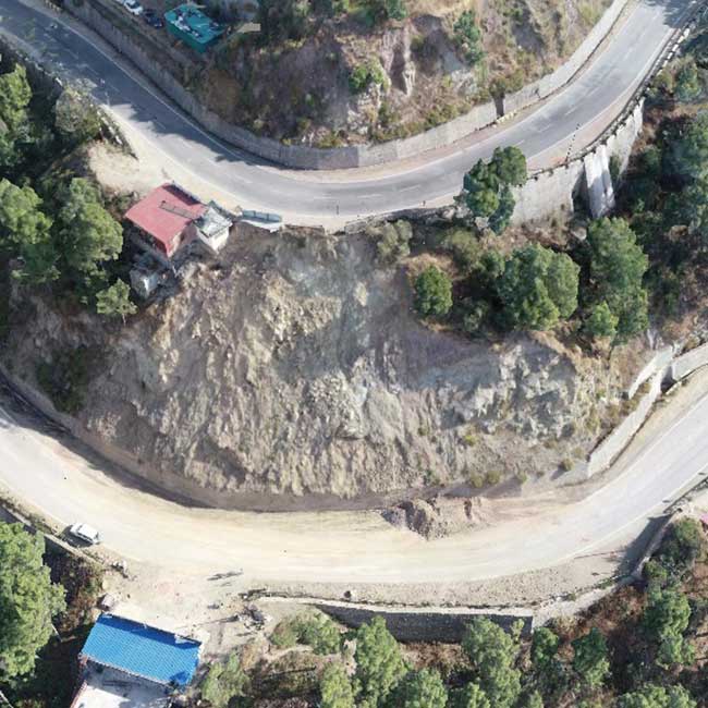
a. Geospatial Survey: Uses remote sensing, GIS, and surveying techniques to map terrain, topography, drainage patterns, and site accessibility. It helps in preliminary planning and site selection.
- Topographical Survey
- Drone Survey
- Geological Mapping
- Lidar survey
b. Geophysical Survey: Involves non-intrusive techniques like seismic, electrical resistivity, and ground-penetrating radar (GPR) to detect subsurface anomalies, rock formations, groundwater levels, and voids.
- Electrical Resistivity Test (ERT)
- Seismic Refraction Test (SRT)
- MASW
- GPR
- Downhole & Cross hole
c. Geotechnical Investigation: Conducts drilling, sampling, and laboratory testing of soil and rock to determine strength, bearing capacity, settlement, and other engineering properties critical for foundation design and stability analysis.
- Field Testing